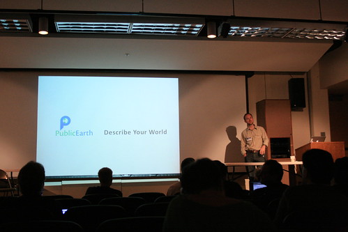
Duncan talks about his original vision for PublicEarth here:
So the idea for a wiki of ‘interesting’ or ‘long tail’ places was born, with ability for users to create, edit and share information in an structured, categorized and intelligent format – with the simple ability to get this information onto mobile and GPS devices.
I see PublicEarth being complementary to OpenStreetMap, which is of course another well known crowdsourced effort around geospatial data. OpenStreetMap is primarily focused on creating a free and open basemap for the world, with some basic points of interest. PublicEarth is not about the basemap, but about creating richer information about interesting places. For example, there's a lot of good information about Public Art in there - I just found out that the big Blue Bear sculpture in Denver was created by a fellow Brit, which I hadn't known before! That data came from Public Art Review - one of the things that PublicEarth has done, and is looking to do more, is to help a variety of organizations who have interesting datasets (like this one about contemporary public art) and make them more accessible, in a way in which they can be easily queried by location. There are all kinds of other interesting datasets in there, with more to come. And of course the whole idea of a wiki or crowdsourced approach is that anyone can create or update information, so I encourage you to give it a try and create some interesting places of your own!
Datasets are too smelly. Datasets are so much more biting
ReplyDelete